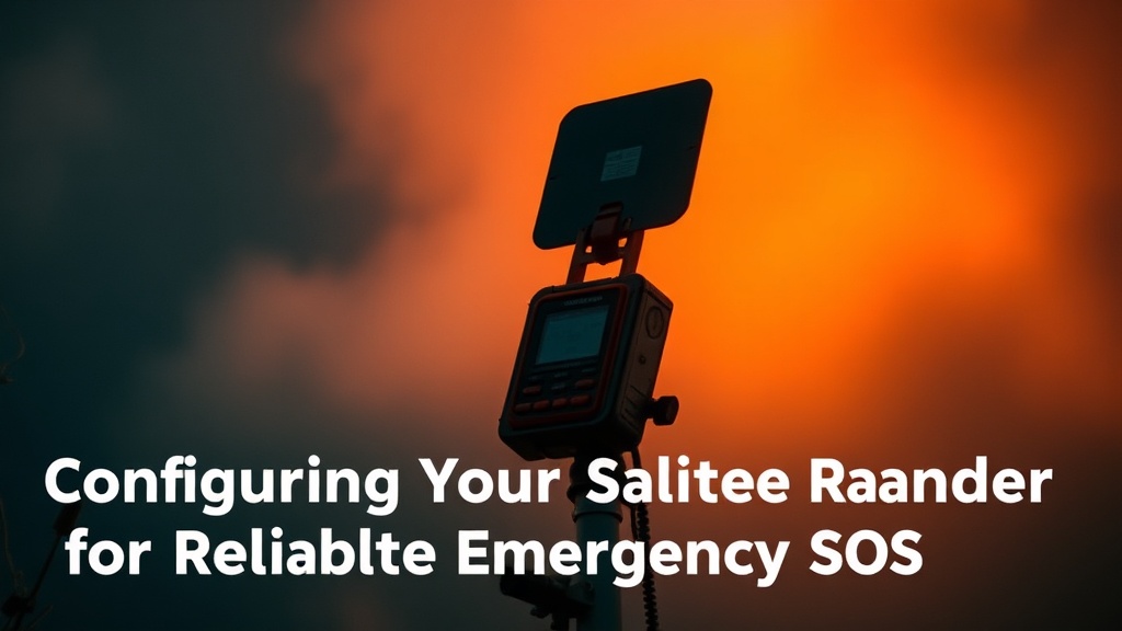
Configuring Your Satellite Messenger for Reliable Emergency SOS

Roughly 20% of search and rescue missions involving satellite devices are delayed or complicated by user error during the initial SOS trigger. While most people buy a device like a Garmin inReach or a Zoleo thinking it’s a magic button, the hardware is only as good as the configuration you set before you leave the trailhead. This post breaks down how to configure your messaging settings, manage your subscription-based SOS protocols, and ensure your device actually communicates with the Iridium satellite network when things go sideways.
Why Does Satellite Connectivity Fail in the Field?
Satellite connectivity fails primarily due to physical obstructions like heavy canopy, deep canyons, or high-altitude cloud cover blocking the line of sight to the sky. Unlike a cell tower that can bounce signals off structures, a satellite messenger requires a relatively clear view of the horizon to establish a handshake with the orbiting constellation. If you’re sitting in a narrow valley, your device might struggle to find a signal even if the device itself is functioning perfectly.
I’ve seen too many people try to send an SOS from the bottom of a drainage. It doesn't work. You can have the most expensive unit on the market, but physics doesn't care about your budget. If you can't see the sky, you aren't communicating.
To mitigate this, you need to understand the difference between two-way messaging and the dedicated SOS button. A dedicated SOS button on a device like the Garmin inReach Messenger is a high-priority signal, but it still needs a clear window to the sky to transmit that packet of data. If you're stuck in a low-signal area, you're better off moving to a higher, more open ridge before attempting to trigger the alarm.
A common mistake is treating the device like a smartphone. It isn't. It’s a specialized tool with specific constraints. If you’re constantly checking for messages in a dead zone, you're just draining your battery for nothing.
How Do I Set Up My SOS Contact List?
You set up your SOS contact list by accessing the web portal associated with your device's subscription service, not through the device itself. Most modern satellite communicators use a web-based backend where you define who gets notified when the red button is pressed. This is where you provide emergency contact info, medical-style data, and even your specific GPS coordinates if the device supports it.
Don't just put your spouse in there. Put someone who stays calm under pressure. I’ve seen people panic because they got an SOS alert and didn't know if it was a real emergency or a mistake. If your contact is a high-stress person, the situation can spiral. Give them clear instructions in the notes section: "Call 911 first, then call me."
Here is how a professional-grade setup looks:
- Primary Contact: Someone with local knowledge or high composure.
- Secondary Contact: A person who can reach your insurance or medical-related info.
- Medical Data: Include blood type and allergies in the text-based profile if the platform allows.
- The "All Clear" Protocol: Always have a pre-arranged way to tell your contacts that the SOS was a false alarm.
A lot of people forget that the person receiving the SOS might be the one who has to call the local Sheriff or Search and Rescue (SAR) agency. If your contact is a teenager or someone who doesn't know how to report a technical emergency, your "safety net" is pretty much broken. It’s a cheap way to fail.
What Is the Best Way to Save Battery During an Emergency?
The best way to save battery is to minimize the frequency of GPS tracking updates and turn off non-essential Bluetooth connections. If you are in a survival situation, every milliamp counts. Your device is a lifeline, not a toy.
I usually set my devices to track my position every 10 or 30 minutes rather than every minute. While real-time tracking is great for a blog post about tracking environmental data, it is a massive drain on a lithium-ion battery. If you're hiking a long distance, you want that device to last days, not hours.
Quick Battery Management Tips:
- Disable Bluetooth: Unless you are actively using your phone as a display for the messenger, kill the Bluetooth. It’s a constant power draw.
- Limit Texting: Use the device for emergencies and brief check-ins. Don't try to have a full-blown conversation with your partner back home.
- Power Down: If you aren't actively using the device to track your path, turn it off.
- Solar/External Power: If you carry a portable solar panel, keep the device in the sun—but keep it in the shade of your pack to prevent overheating.
The way you manage your power determines your "cost-per-mile" for reliability. A device that dies when you actually need it has a value of zero. It doesn't matter if it was only $300; if it's dead when you're lost in the backcountry, it was a waste of money.
How Much Does a Satellite Subscription Really Cost?
A satellite subscription costs anywhere from $15 to $65 per month, depending on whether you choose a basic tracking plan or a full-service SOS plan. You have to factor this monthly fee into the total cost of your gear. A $350 device is actually a $350 device plus a recurring monthly "tax" to keep it functional.
When looking at the math, don't just look at the upfront price. Look at the annual cost. If you only hike three months a year, a yearly subscription might be a better deal than a monthly one that you forget to cancel. I always check the fine print on the Iridium satellite network coverage and the specific service terms of the brand I'm using.
| Plan Type | Typical Monthly Cost | Best For |
|---|---|---|
| Basic Tracking | $15 - $25 | Long-distance hikers/thru-hikers |
| Full SOS/Messaging | $35 - $60 | Backcountry hunters and climbers |
| Annual/Seasonal | $150 - $300 (Yearly) | Weekend warriors |
If you’re trying to save money, you might be tempted to go with the cheapest plan available. But there's a catch. Some lower-tier plans have much slower data speeds or limited-message counts. If you're in a situation where you need to send a detailed medical update to a SAR team, a restricted plan might throttle your ability to communicate effectively. It’s a high price to pay for a "budget" option.
I've spent too many nights in a van trying to figure out why my device wouldn't sync with the server because I had a "low-tier" plan that didn't allow for high-frequency pings. It’s frustrating, and in the field, frustration is a luxury you can't afford.
Before you head out, check your signal strength. If you're in a canyon, you'll likely need to move. Don't wait until the panic sets in to realize your device is struggling to find the satellites. Test it in your backyard or a local park first. If it can't find a signal in a suburban park, it definitely won't find one in the Cascades.